|
USVI Maps
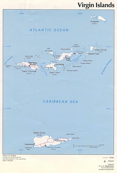
So you want to see some USVI maps? My family and I assembled a collection of the best US Virgin Island maps. Check out our favorites! A US Virgin Island map is a great way to see St Croix in relation to St Thomas and St John. These three islands are the main US Virgin Islands. St Croix is the largest of the US Virgin Islands and it is often said to be the perfect mix between St Thomas and St John. If you’re looking for a standard USVI map to demonstrate the locations of the major Virgin Islands, this one works great:
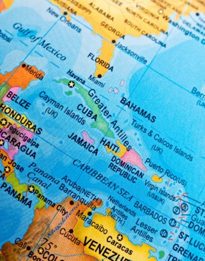
If you want to see more of the surrounding area, check out this great colorful map of the Caribbean:
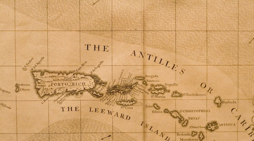
Interested in antique maps? My family and I have seen a number of antique Virgin Island maps and we like this one best:
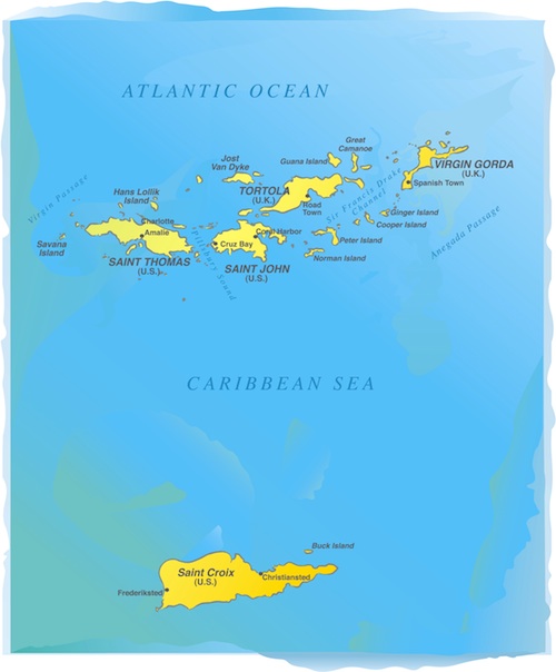
And for our absolute favorite of all the USVI maps, check out this watercolor illustration of the US Virgin Islands. It shows the two main towns on St Croix- Frederiksted and Christiansted:
Return from USVI Maps to St Croix Map
|


